
Satellite Sensor Agnostic Approach
Golden Twins delivers an advanced satellite sensor-agnostic Earth Observation approach for continuous detection and mapping, integrating high-resolution optical and SAR data to ensure near real-time responsiveness, operational flexibility, and reliable monitoring across diverse environmental and operational conditions.
About Golden Twins
The Golden Twins: a modular and scalable platform that provides real-time, high-resolution Earth Observation (EO) services for forest fire mapping, extreme precipitation events, and vessel and oil spill mapping on Greek islands and not only. Its data-agnostic and sensor-agnostic architecture (Greek Cubesats and microsats, LEO satellites, CCM, Sentinel) and advanced AI, it offers safety alerts, damage assessments, and evacuation planning insights for the tourism, maritime, insurance and public sectors, ensuring rapid response and enhanced decision making.

What We Offer
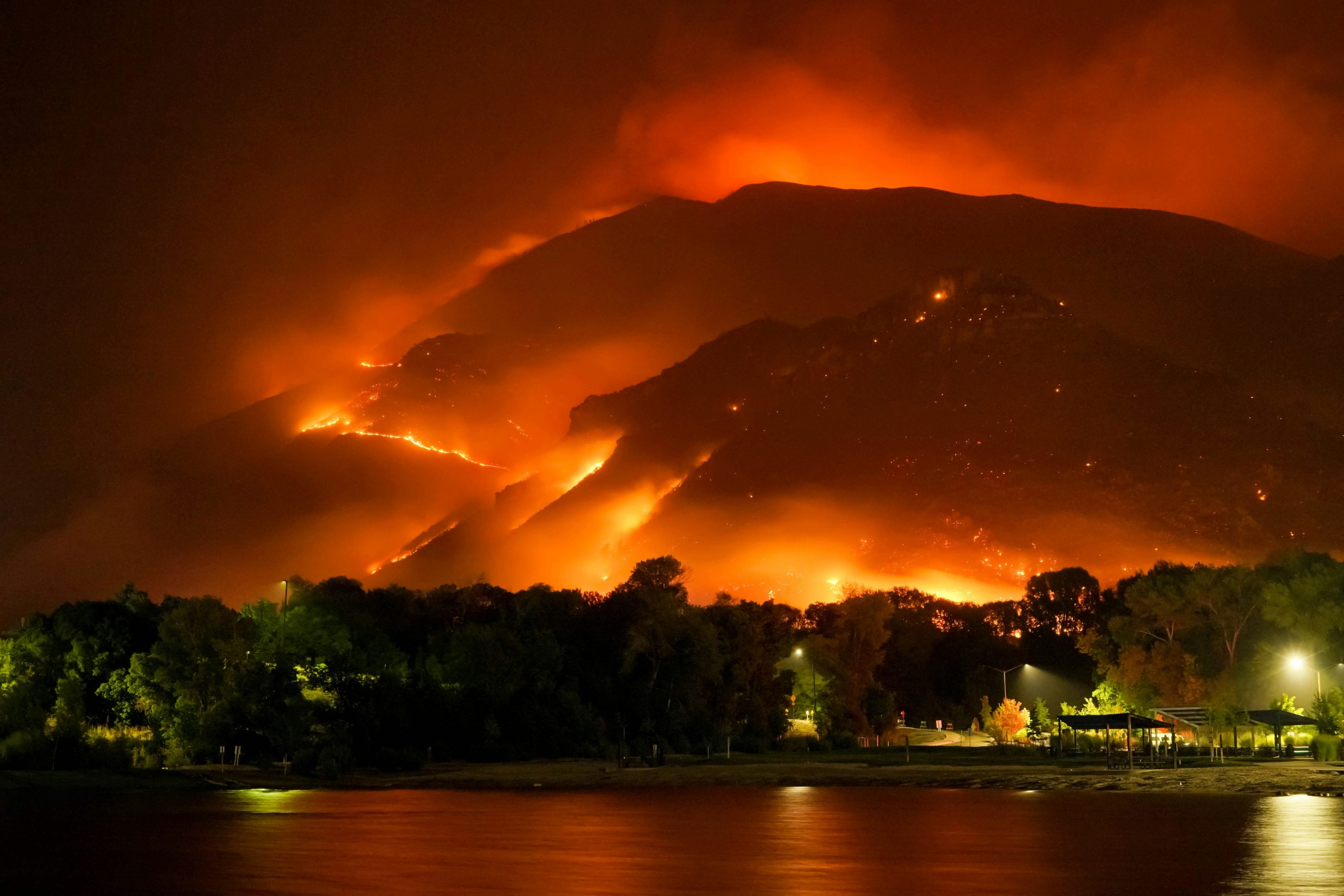
Wildfire Inteligence
Near real-time fire alerts, danger maps, post-fire assessments.

Flood & Extreme Weather Monitoring
Near real-time coastal and mainland flood alerts, post-flood assessments.

Vessel Detection & Maritime Safety
Monitor maritime activity and oil spills, respond to incidents, and gather post-accident evidence.
Products
Developer Tools
Upload and integrate your own modules. Task satellite imagery (optical or SAR) directly via the platform.
Comming Soon..
Read about Golden Twins in Innovation News Network’s Space Publication
Golden Twins Platform | AI-powered EO Services for Crisis Response
Pricing Plans
Focus & Industries
The Golden Twins focuses on Greek islands, expanding to the Greek mainland, the Mediterranean, and isolated regions worldwide.

Marine

Tourism

Insurance
Contact us
Interested in pilot access or learning more? Let’s talk.
 English
  Greek
Greek